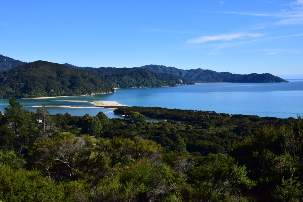
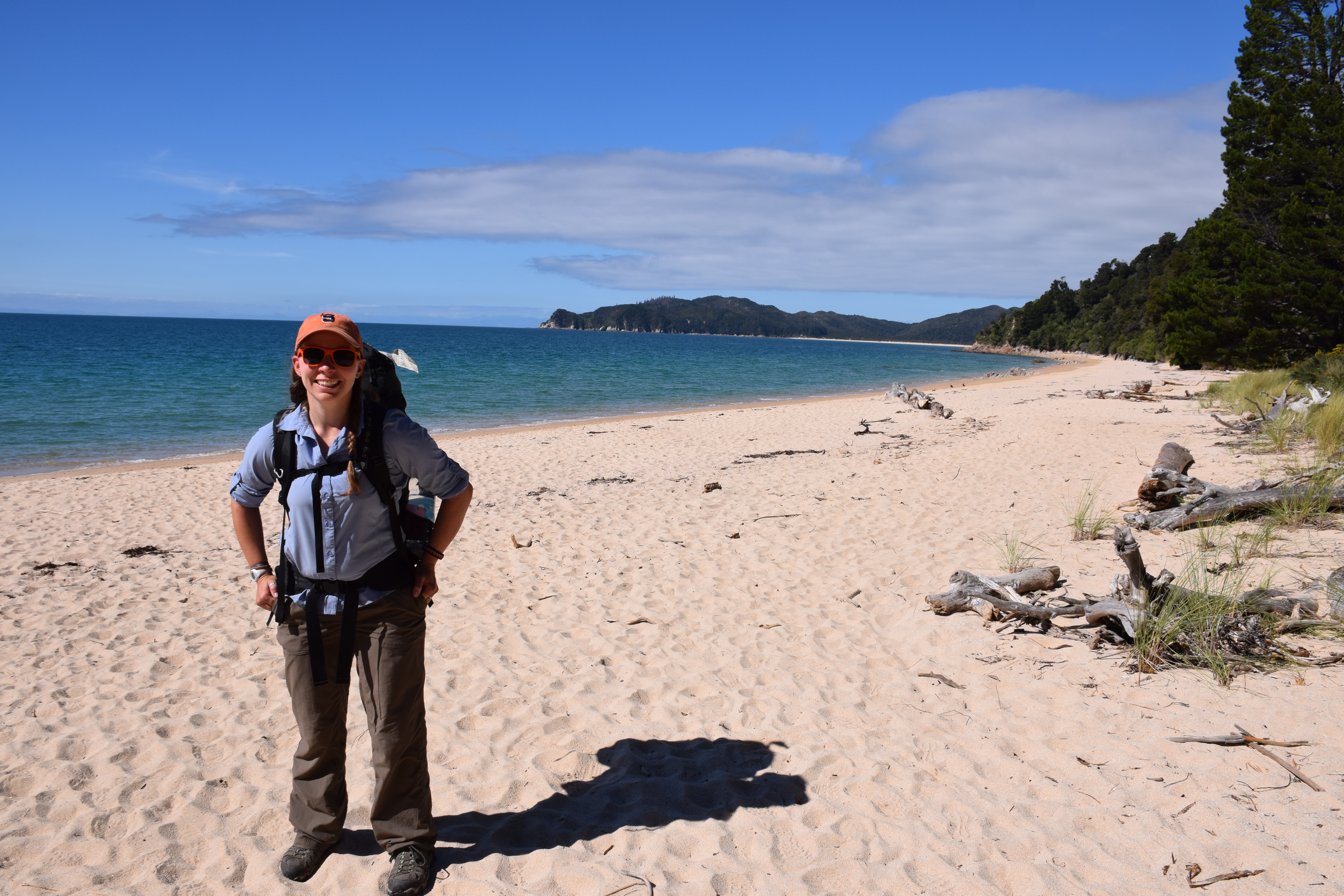
Dustie and I did our first solo great walk a few weeks ago called the Abel Tasman track. This is a gorgeous trail in the Tasman region of the south island that to me was just a perfect hike; there were tidal crossings that we needed to wade through ankle-deep water (or rather, we were fording a formidable river), swing bridges over rivers, beach campsites perfect for watching sun and moon rise, golden bays, bright blue waters, and stunning coastal vistas around every bend. The trail was just challenging enough to feel like I had accomplished something, but not so much that I was cranky and exhausted. It was practically perfect, and I look forward to returning to New Zealand to do it again.
The other really cool part of the hike is that you generally end up taking a water taxi, either at the start then hike back to town, or at the end to bring you back to the car park (you could, if you really wanted back track or take the inland route, but that’s being a bit of an overachiever).
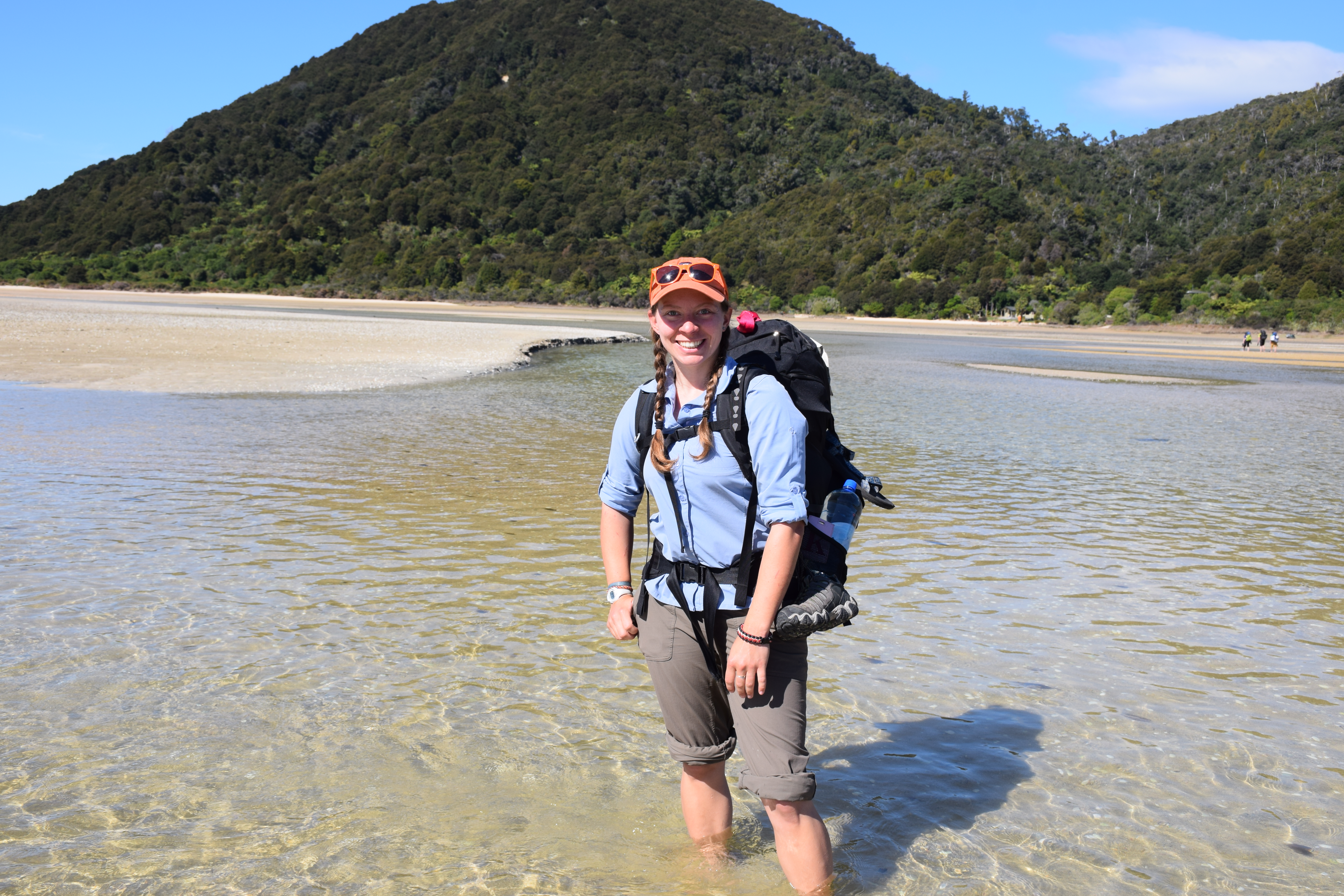
Based on the tides, our estimated pace, and my aversion to waking up before dawn to complete the Awaroa tidal crossing, we started with a water taxi out to Totaranui, and over the next four days made our way back to town. I was initially nervous about that part, fearing that we would be late and miss it or somehow get accidentally swept out to sea. It turns out is was just a really fun part of the adventure – I felt like a little kid exploring (even though there were a bunch of other people walking with us). There was a huge tidal flat with an ankle-to-knee-deep river running through the center, so we had to take off our shoes and walk through the muddy sand to arrive at our first campsite.
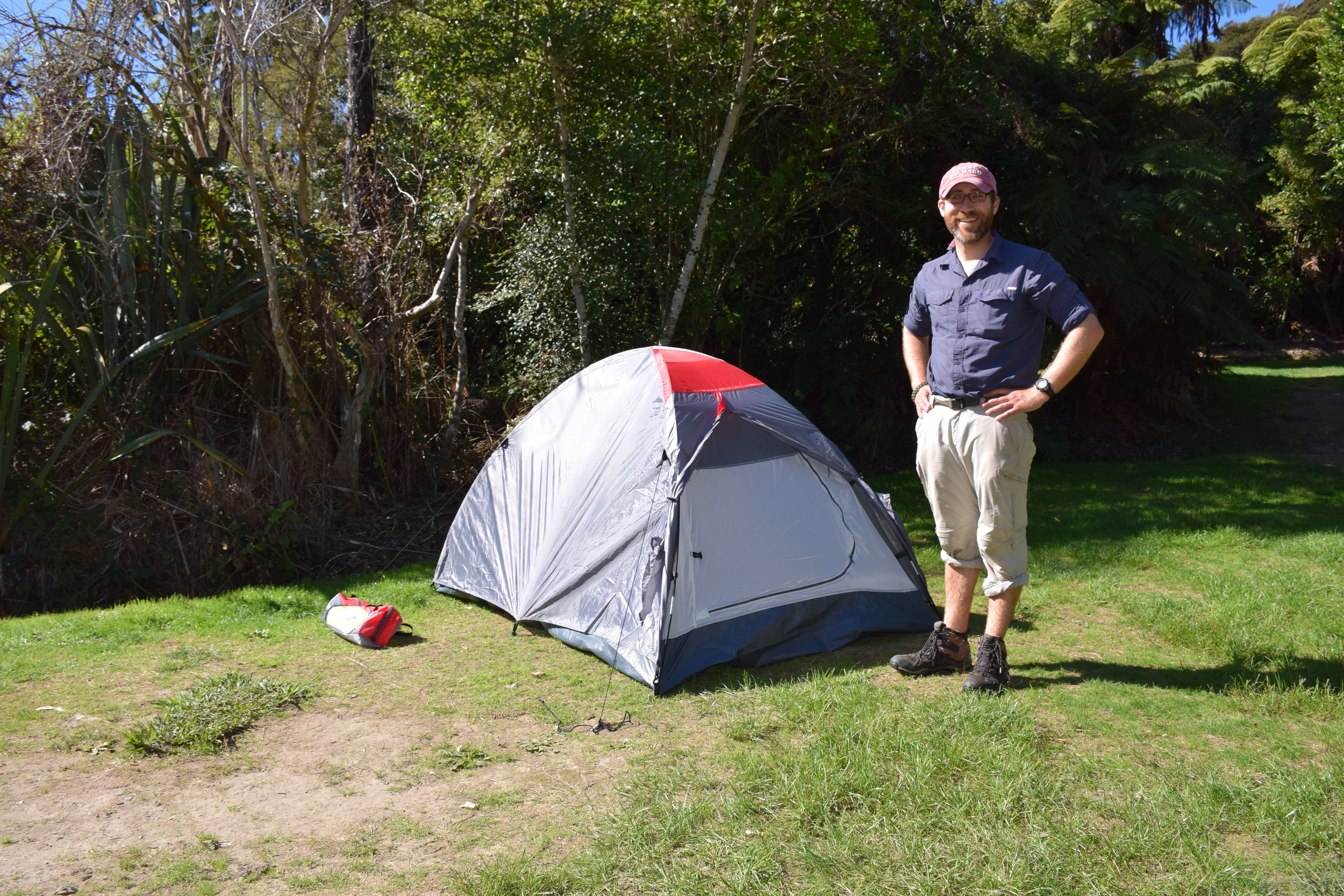
While it was an easy first day, it was exciting to be camping on our own. We happily pitched our tiny little tent, walked to the beach for a quick and chilly swim, and setup our new camp stove to cook dinner. It was trips like this that make me wonder why I was never a girl scout – I would have loved it, I think, and also been an amazing scout. (Come to think of it, it’s probably because it wouldn’t have fit between softball and TKD every night of the week and on weekends).
We spent the next three days walking through lush forests, along the beach, and occasionally over some boardwalks. Day two was my favorite because of our lunch-time stop at a sandy cover for swimming and some sunshine, and the fact that our campsite in Bark Bay was right on the beach that night – we fell asleep and woke to the sound of the surf.
Photos can likely say it better, so without further delay:
Starting off on the track after a drop off from the water taxi.

Tides: This area has some of the largest tide differences in New Zealand, up to 12 meters.
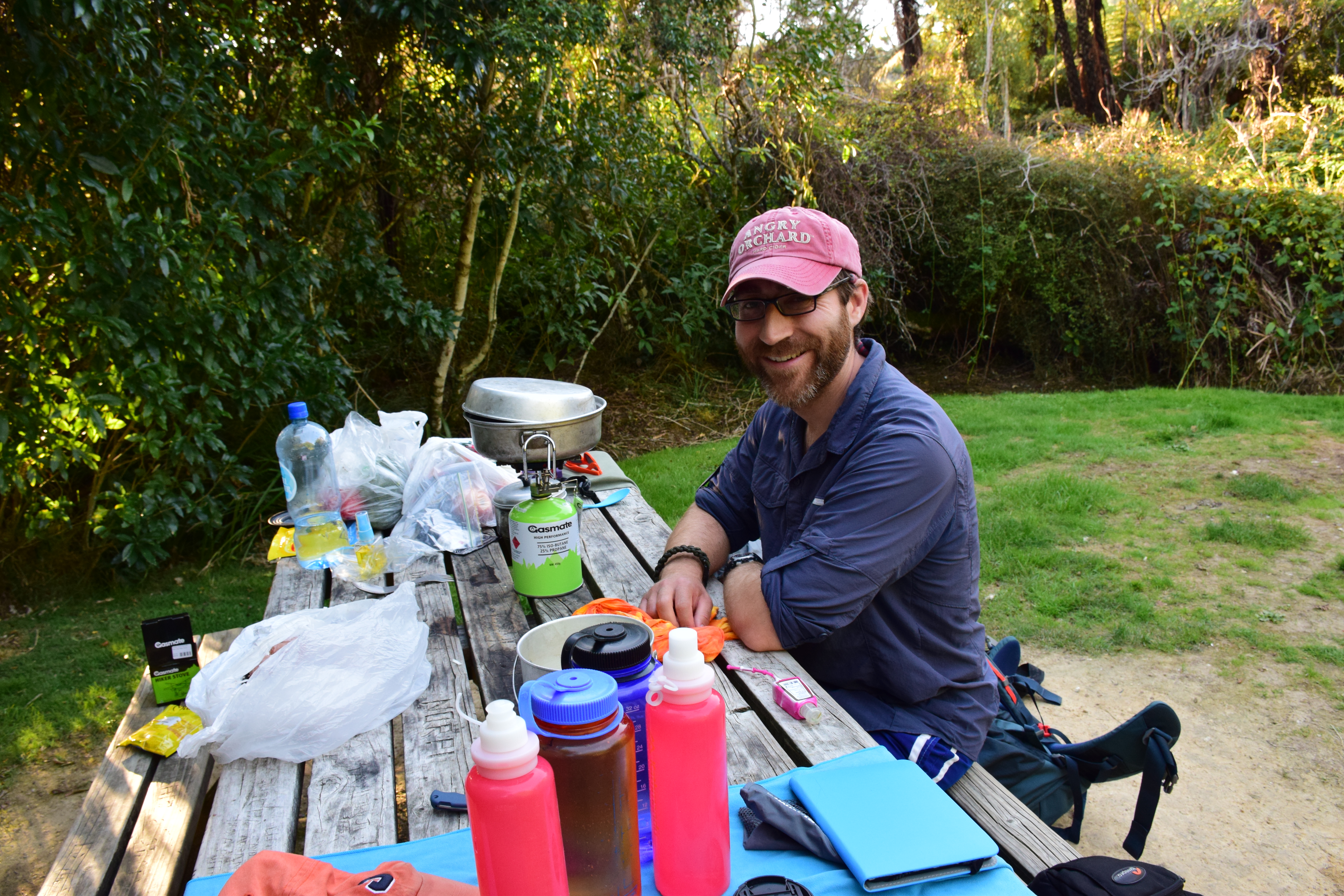
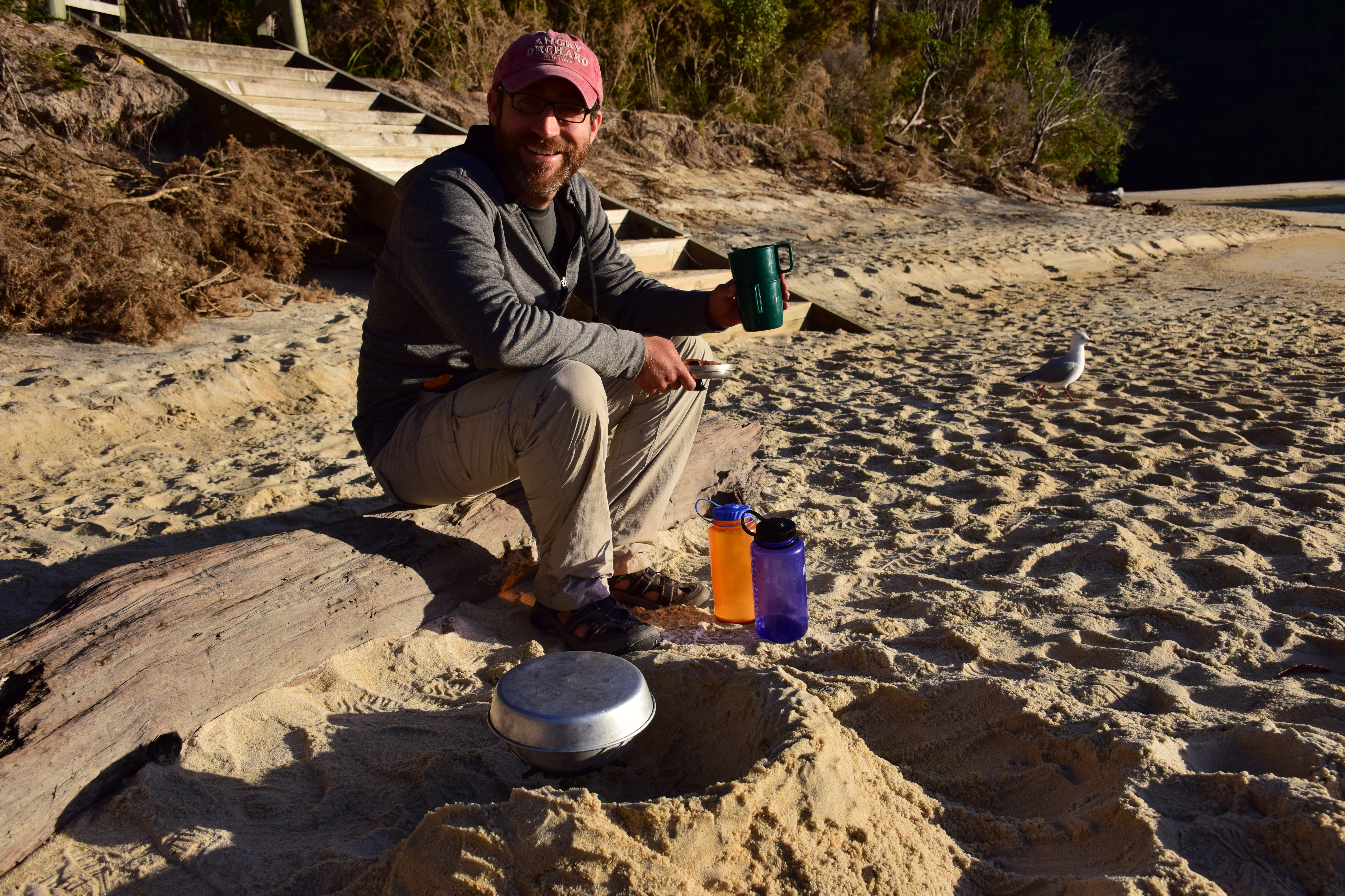
Making dinner with our sweet camp stove
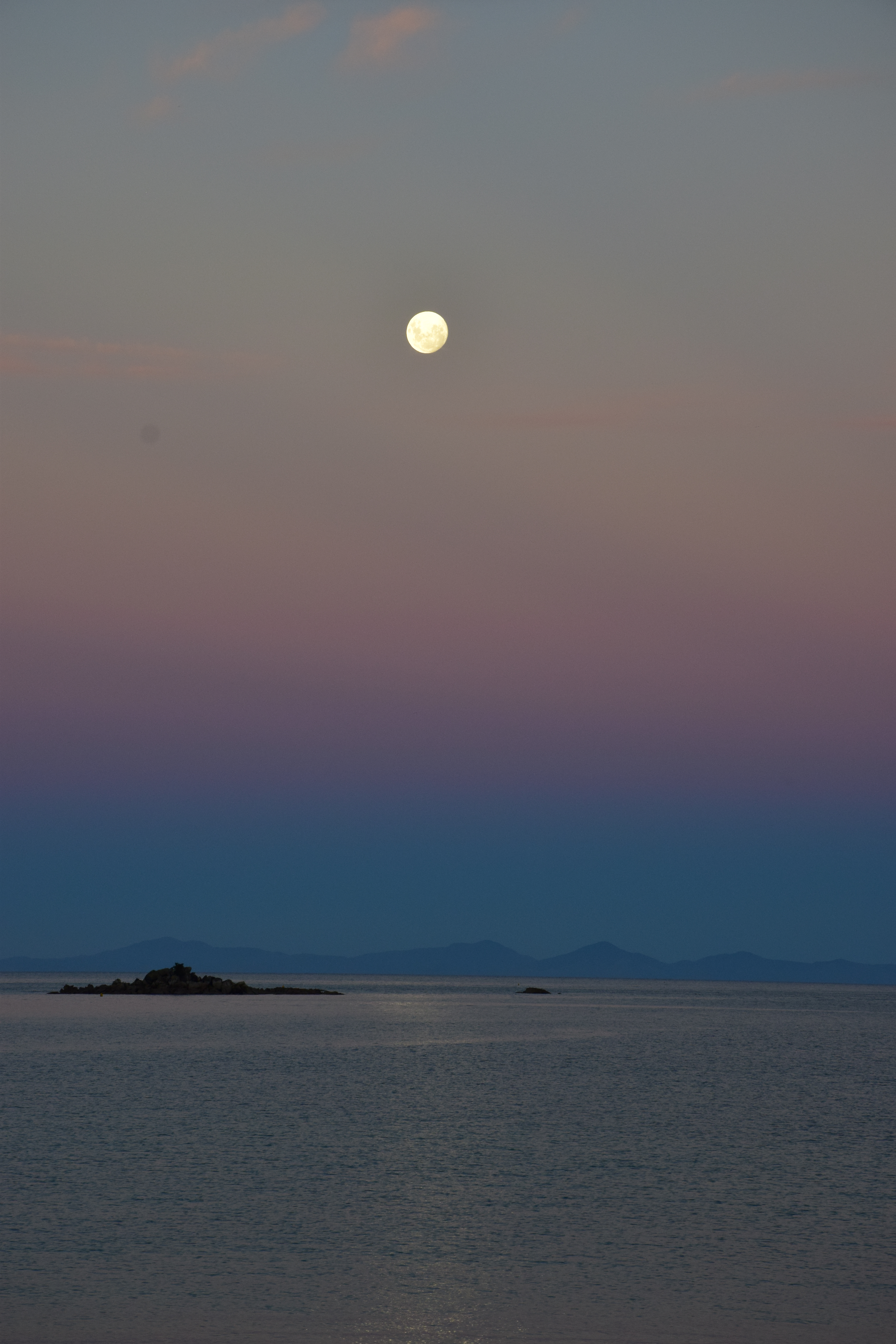
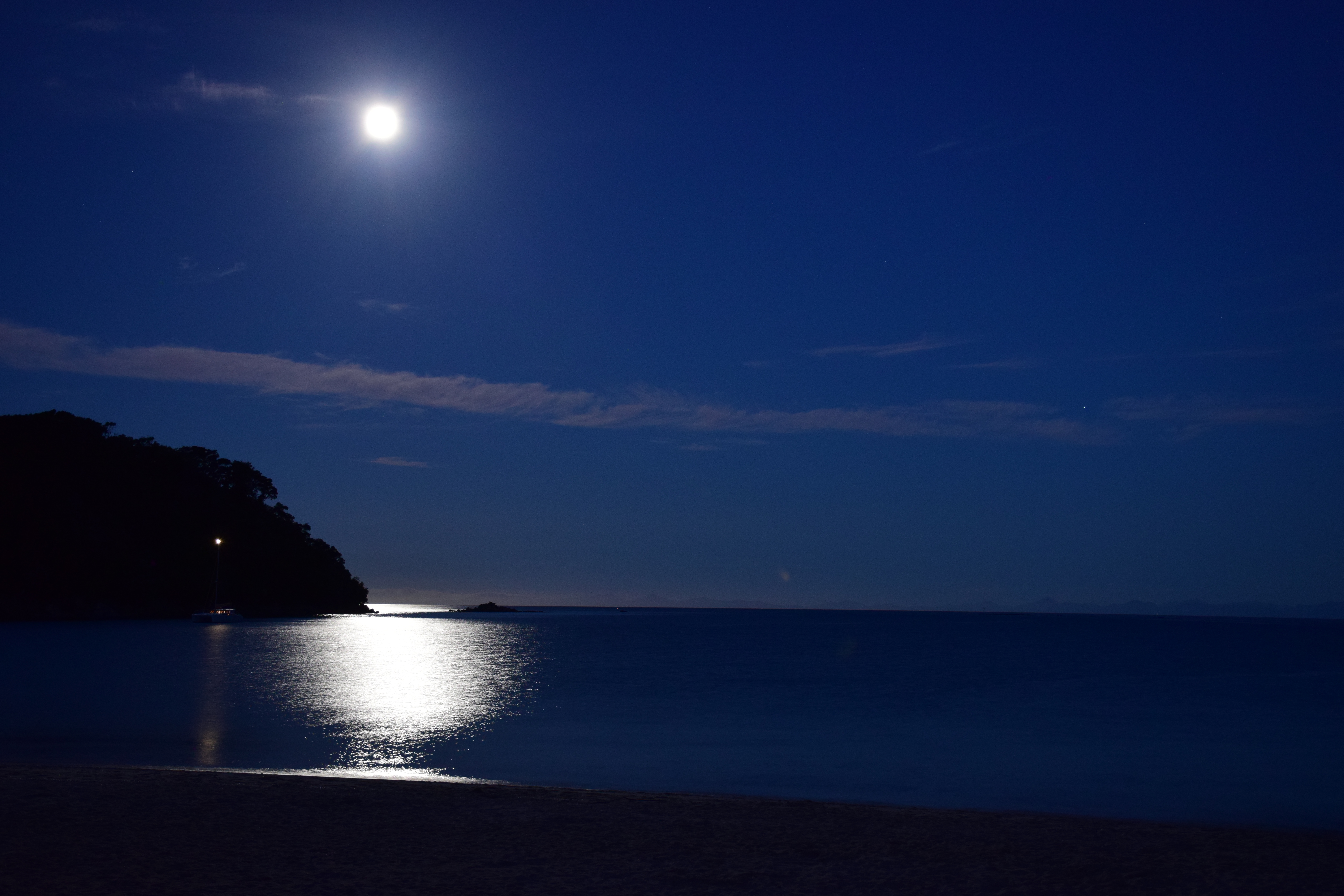
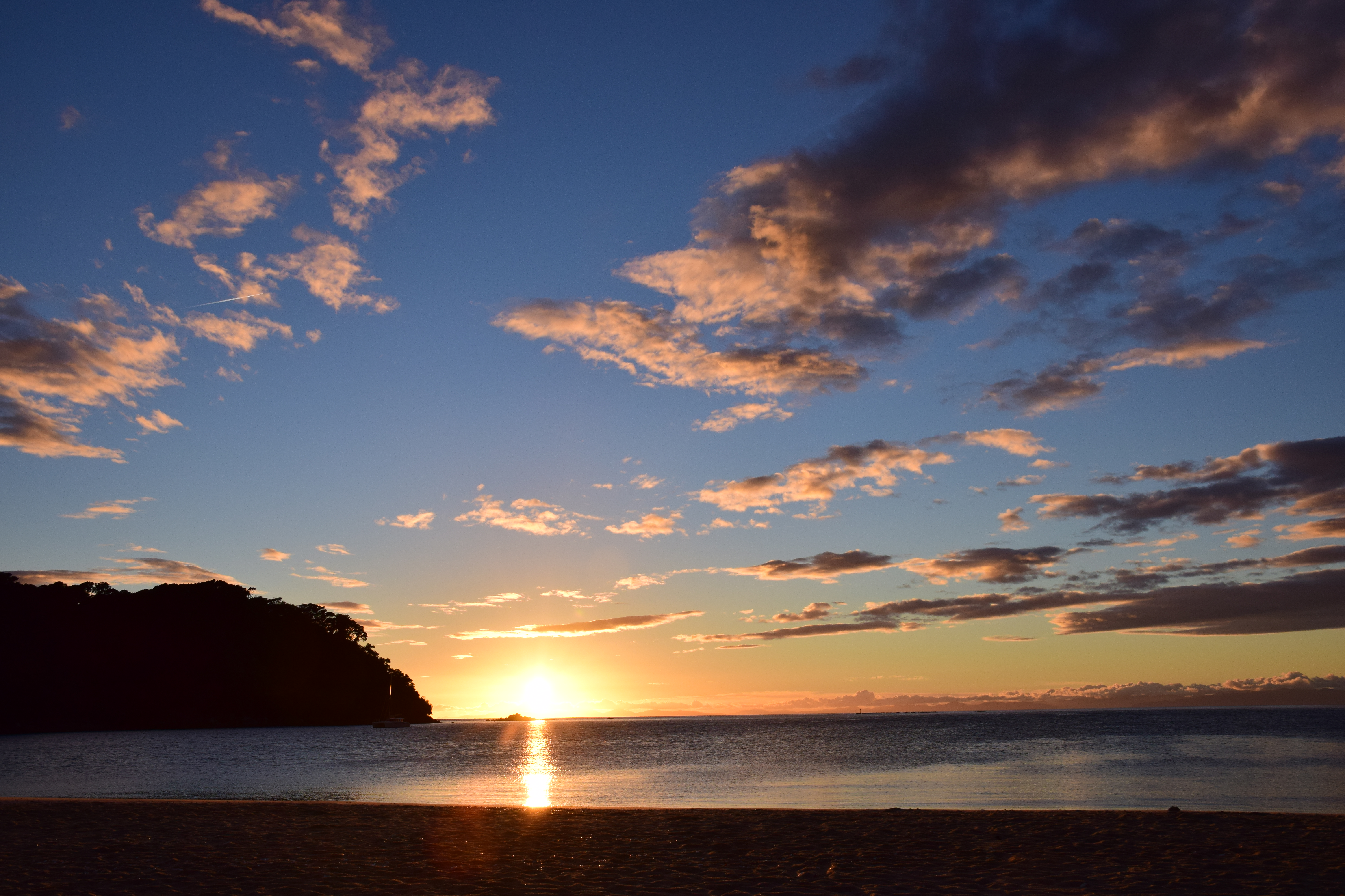
Some shots of the moonrise:
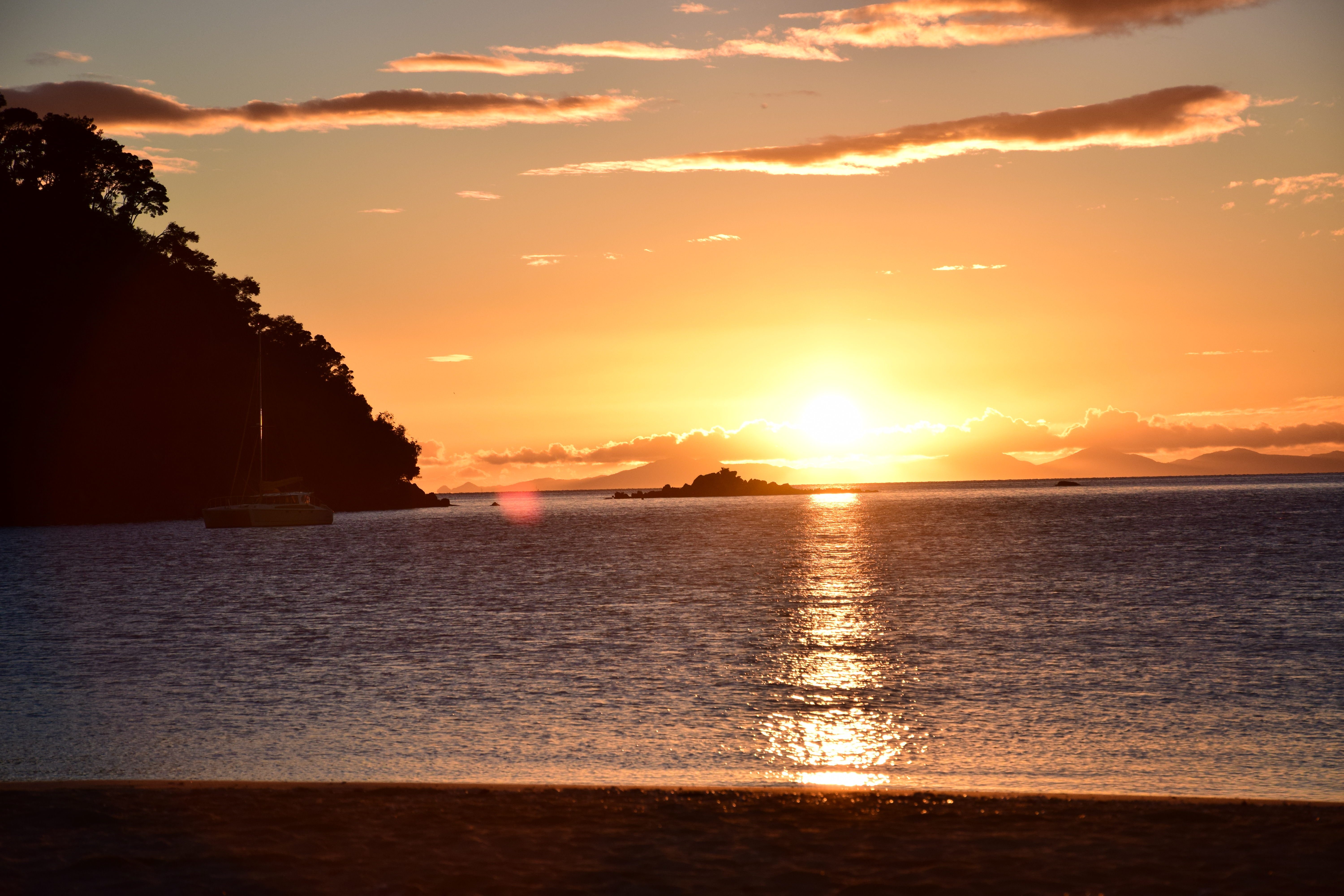
And the sunrise the following morning:
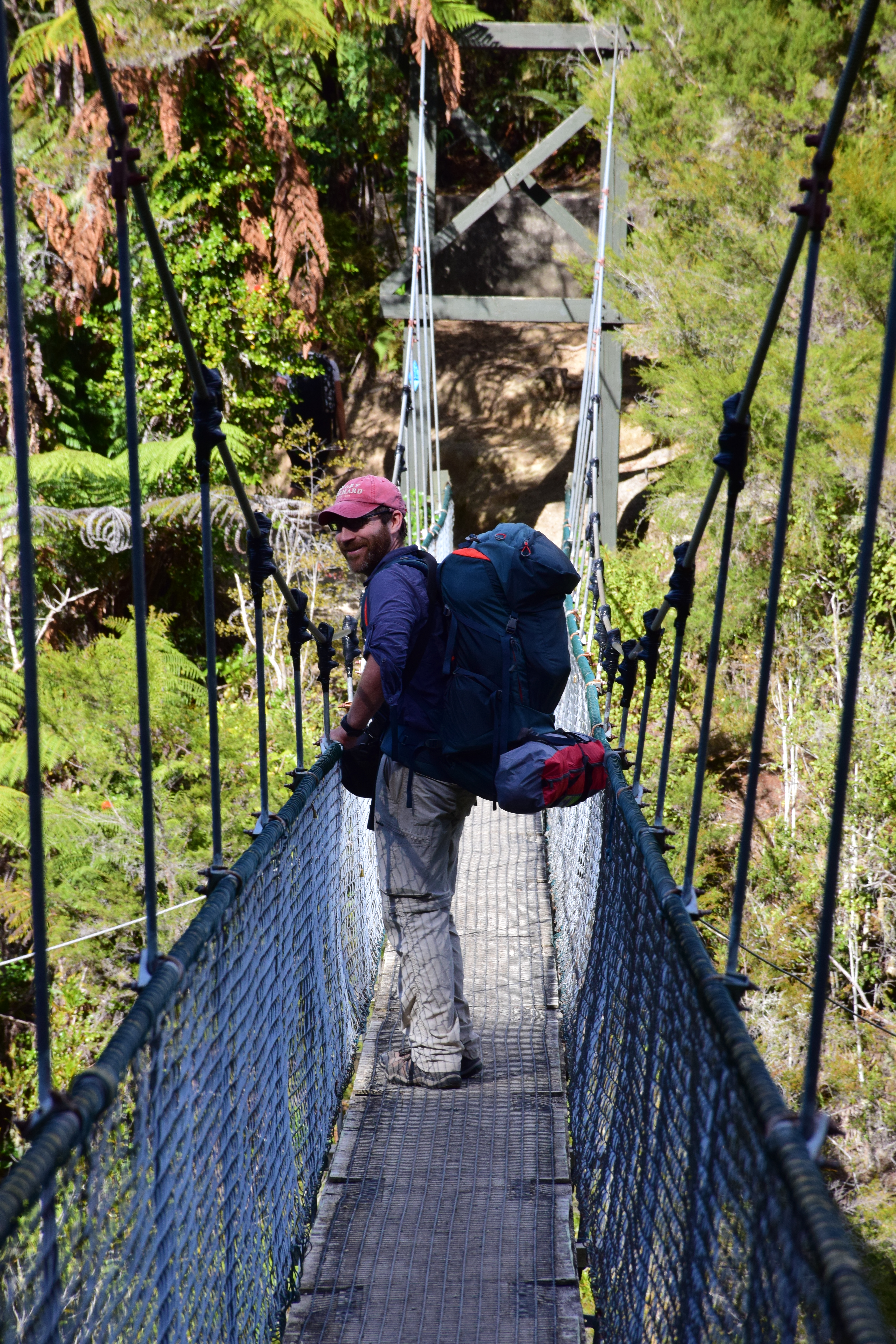
Bridges! They have signs to let you know the capacity before stepping on.
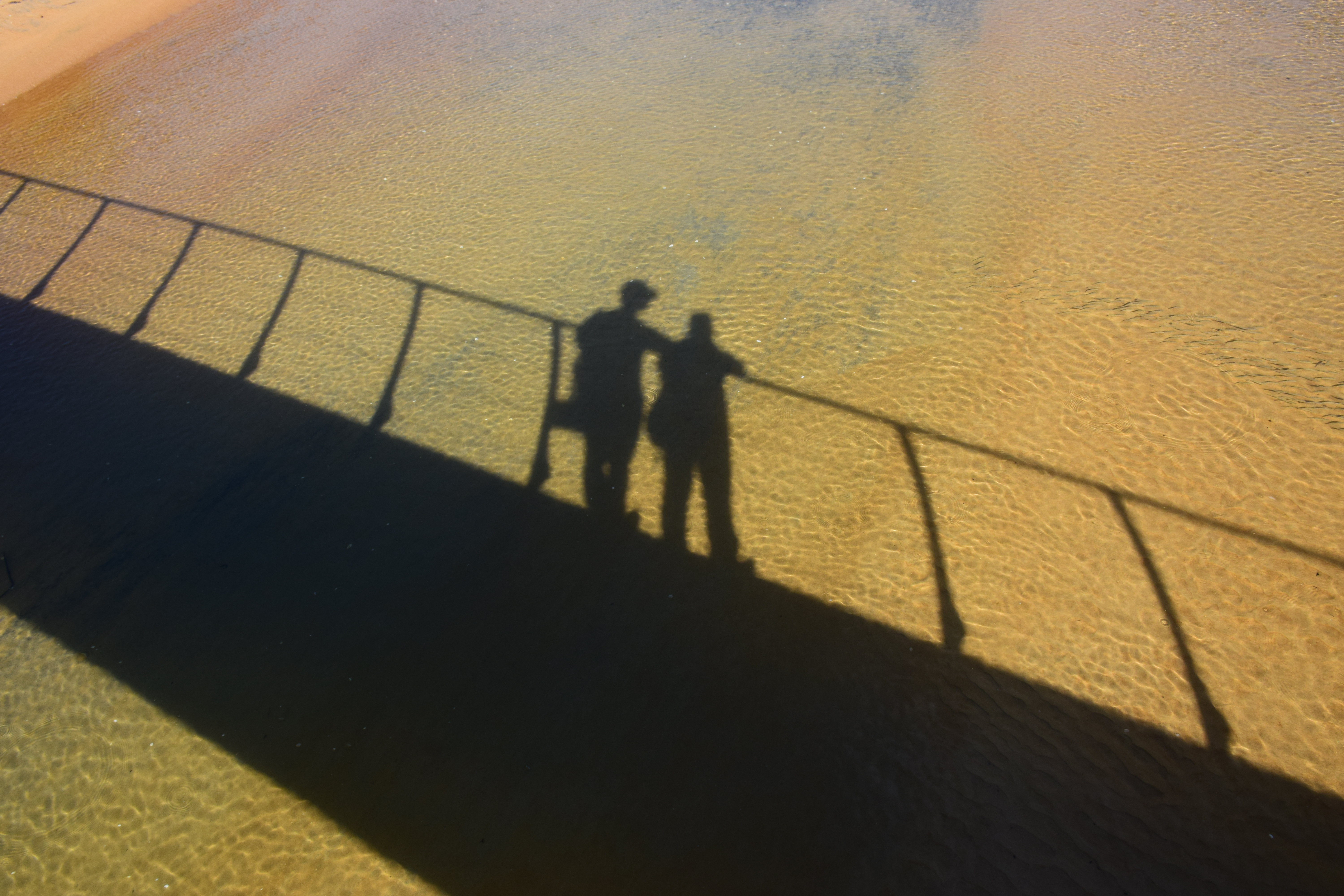
Breakfast on the beach
That first moonrise shot is gorgeous!
This trek sounds amazing. About how far was each day’s hike?
Hi Mike!!
The route we took was split pretty evenly, except for the first day which was shorter; I think it was about 10-12 km per day. The NZ DOC website has some good maps/route suggestions. There were also a bunch of other campsites, so you could adjust the length of the hike each day pretty easily.